Floor Plans
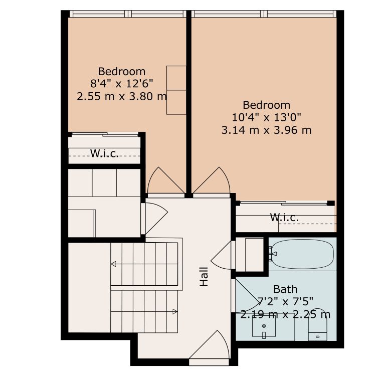
Our floor plans are generated using LiDAR (Light Detection and Ranging) sensors to generate a 2D (or 3D representation) diagram of the layout of the property. Floor plans are included in ALL iGuide scans and can be done without iGuide as well.
Floor plans give buyers a clear view of a property’s layout, helping them visualize the flow, room sizes, and functionality. Unlike photos, they provide context, making it easier for buyers to see themselves in the space. By attracting serious buyers and reducing unnecessary showings, floorplans save time and help your listing stand out, presenting your property with professionalism and appeal.

Floor Plan Examples
Our portfolio showcases the exceptional media solutions we’ve crafted for real estate professionals across Durham Region, Peterborough, The GTA, and Southern Kawartha Lakes. From high-quality photography and 3D virtual tours to drone imagery and custom marketing materials, every project reflects our commitment to excellence. Explore how we’ve helped properties stand out, attract buyers, and close deals faster.


